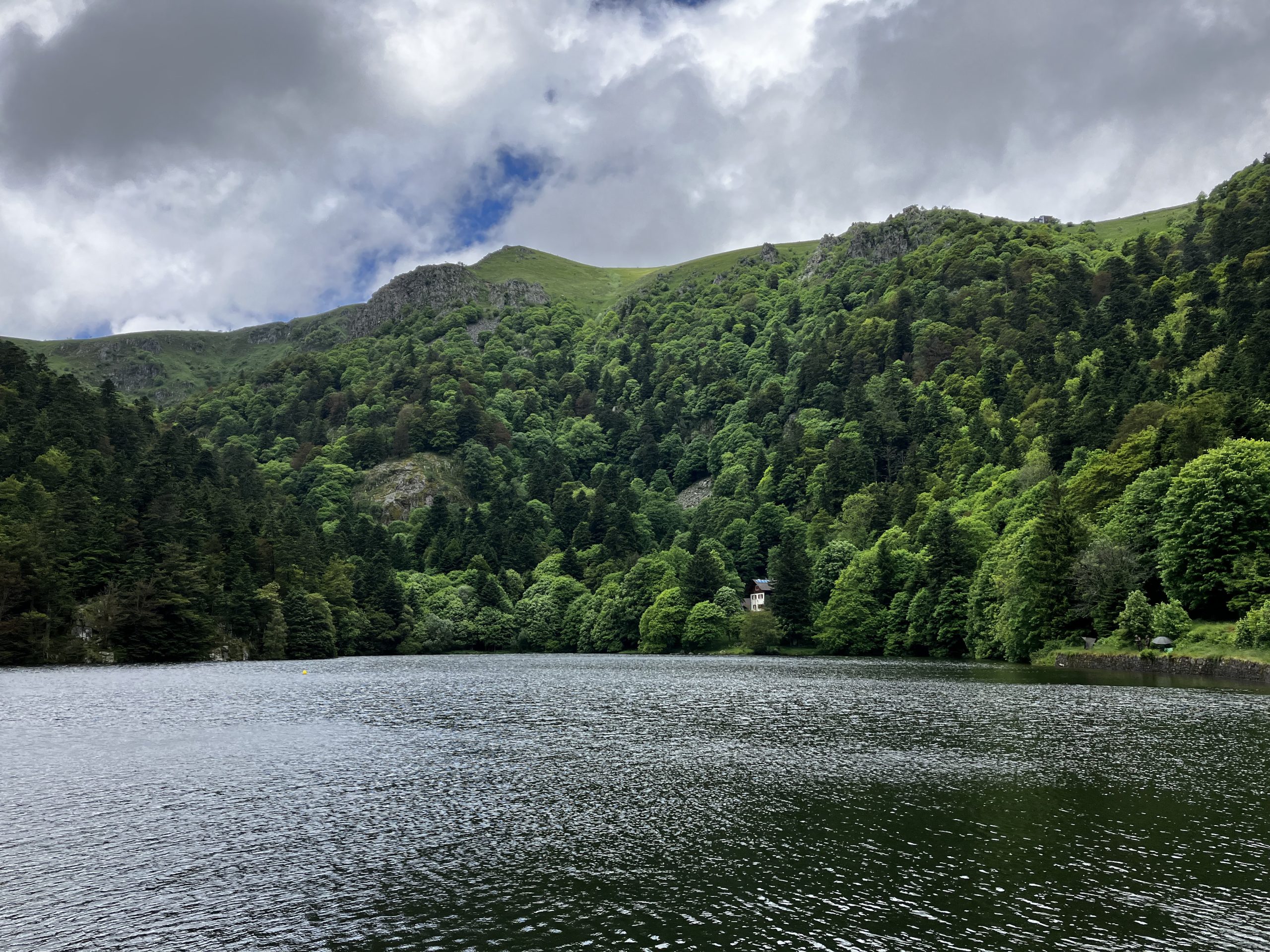
La météo ne nous a pas gâté pour ce week-end du 15 et 16 juin mais nous avons quand même put effectuer 2 belles randos aux alentours du Hohnek.
Le gîte du Gaschney nous a accueilli pour une nuit calme et confortable.
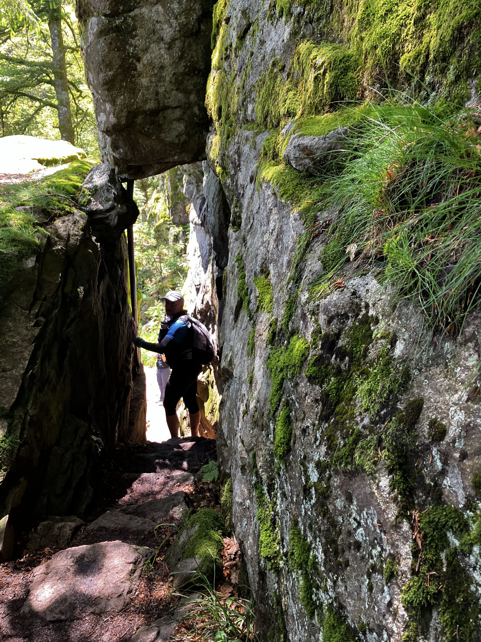
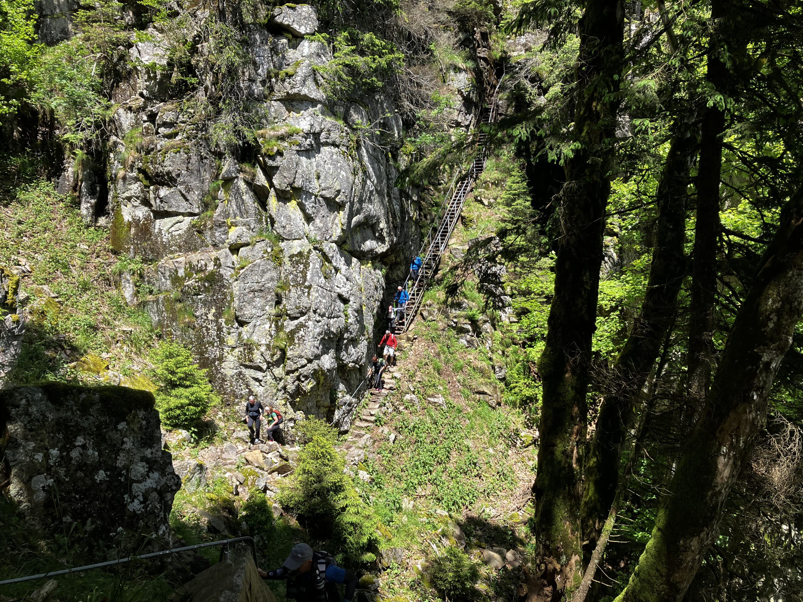
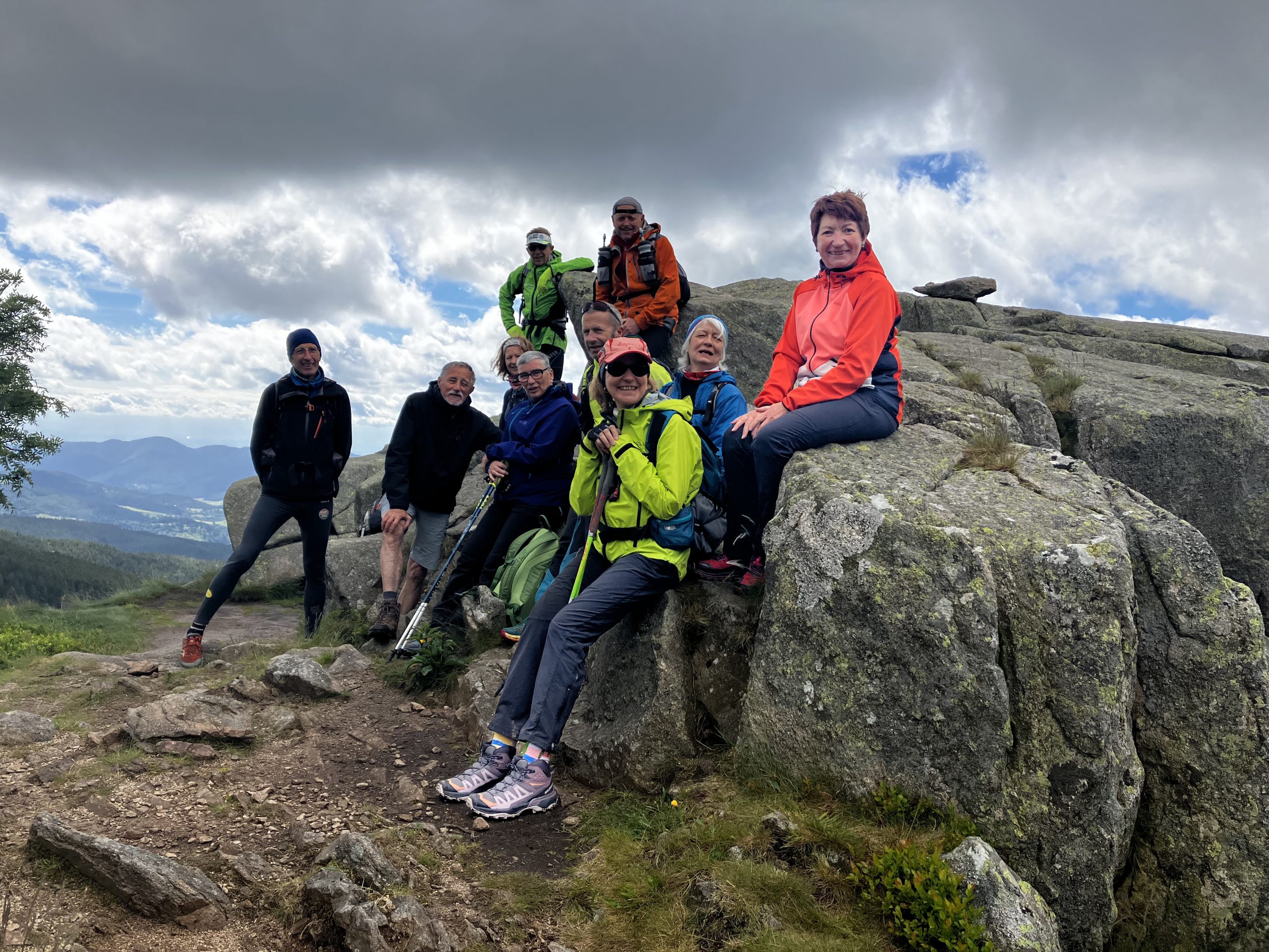
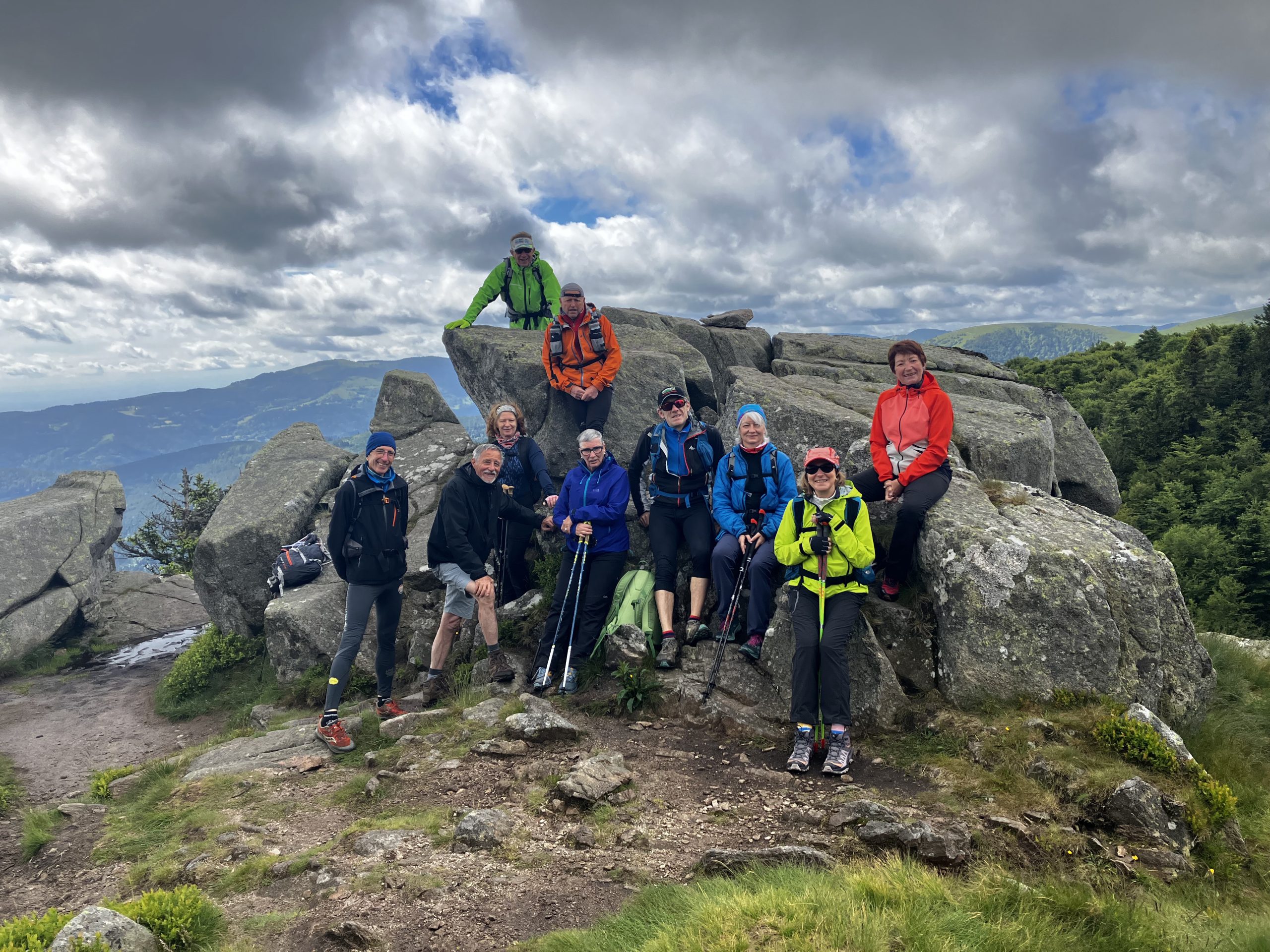
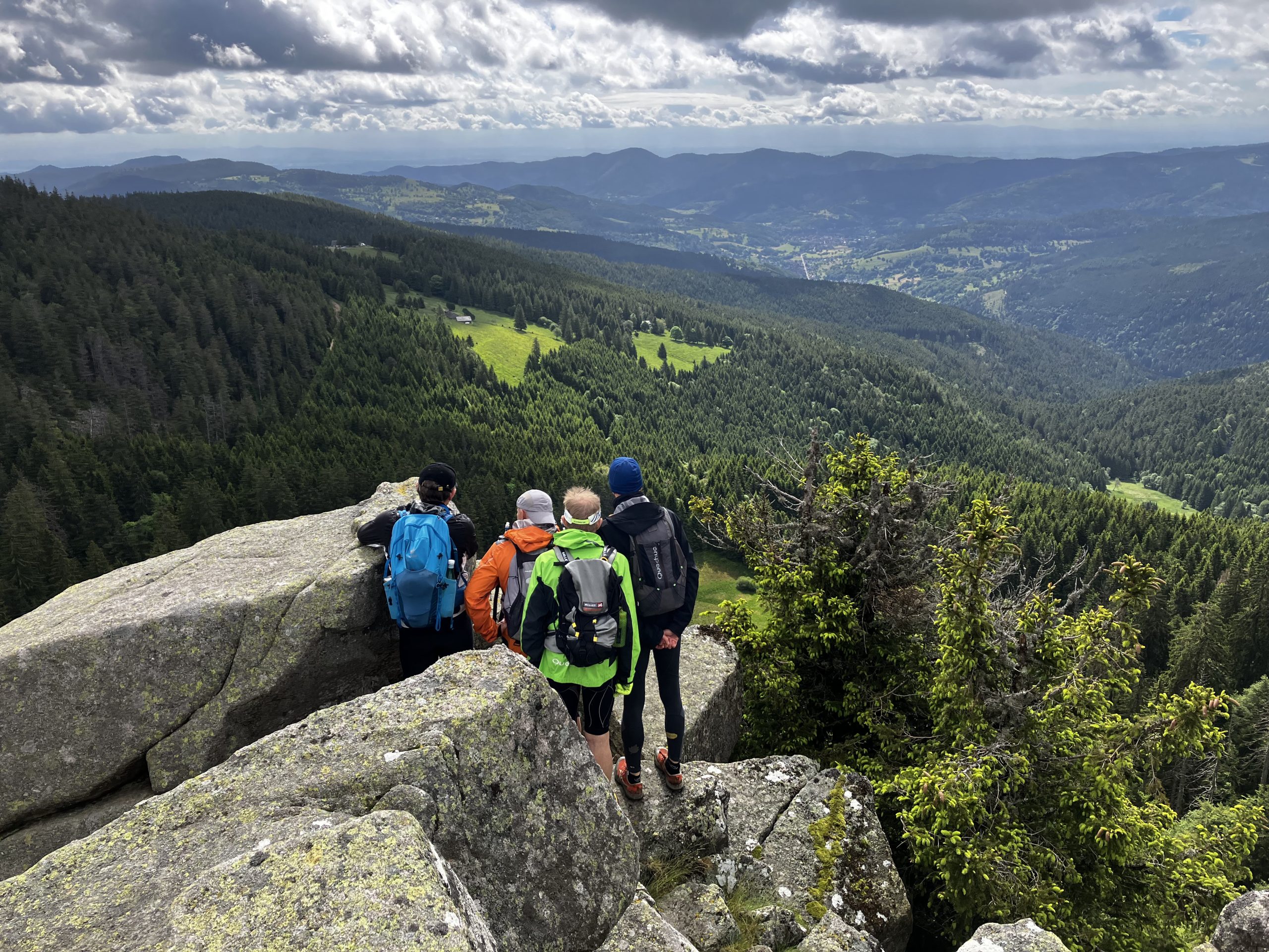
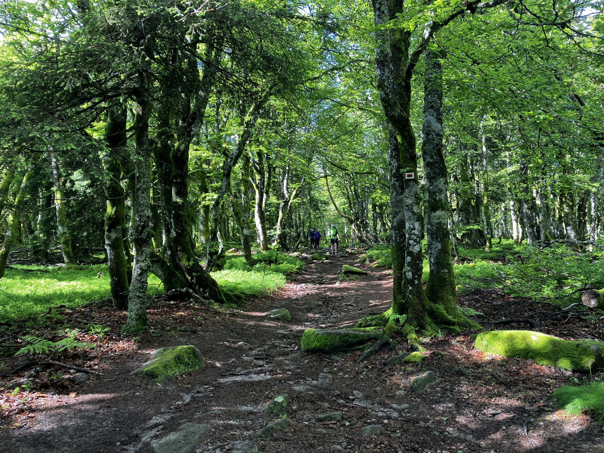
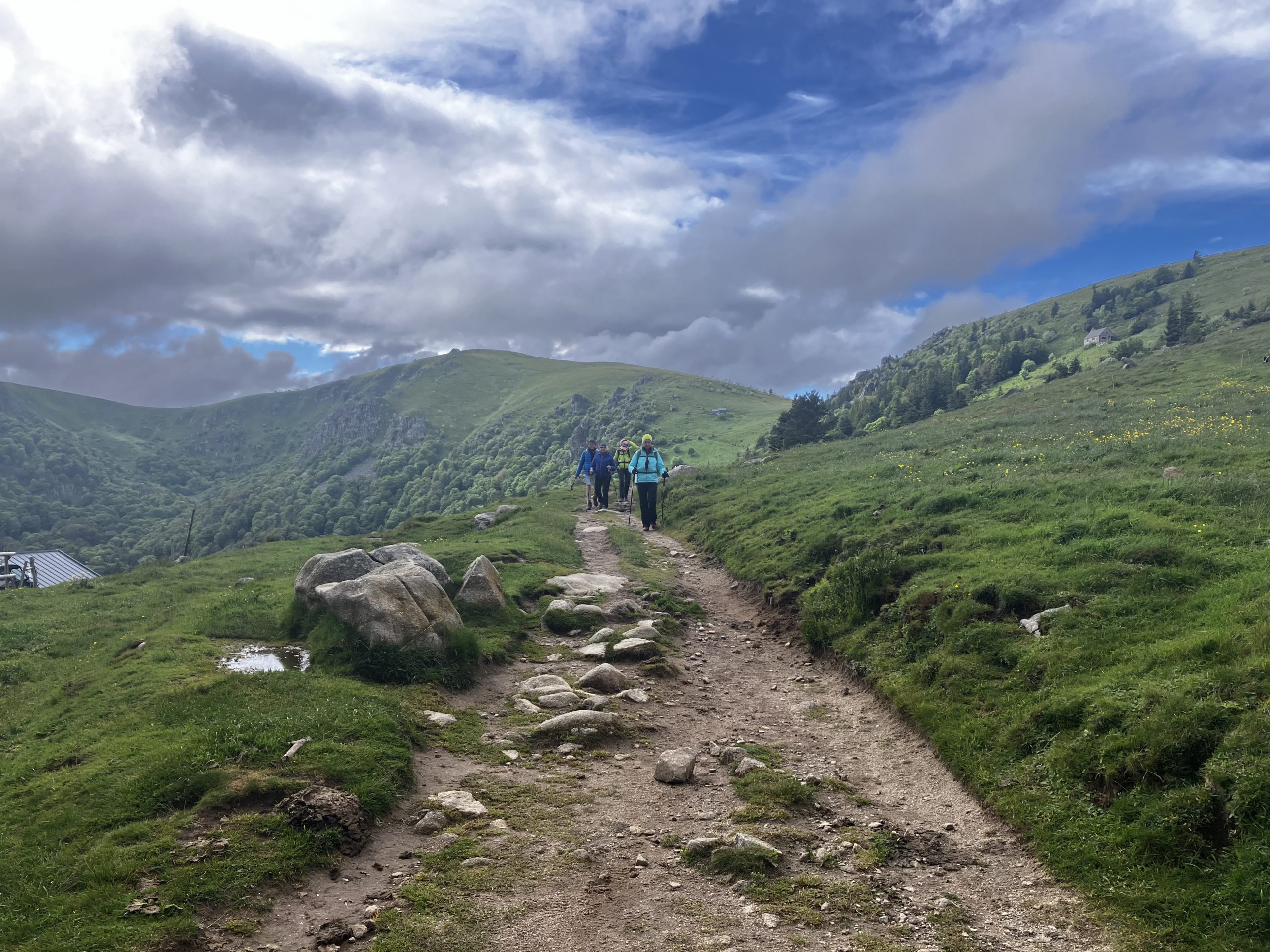
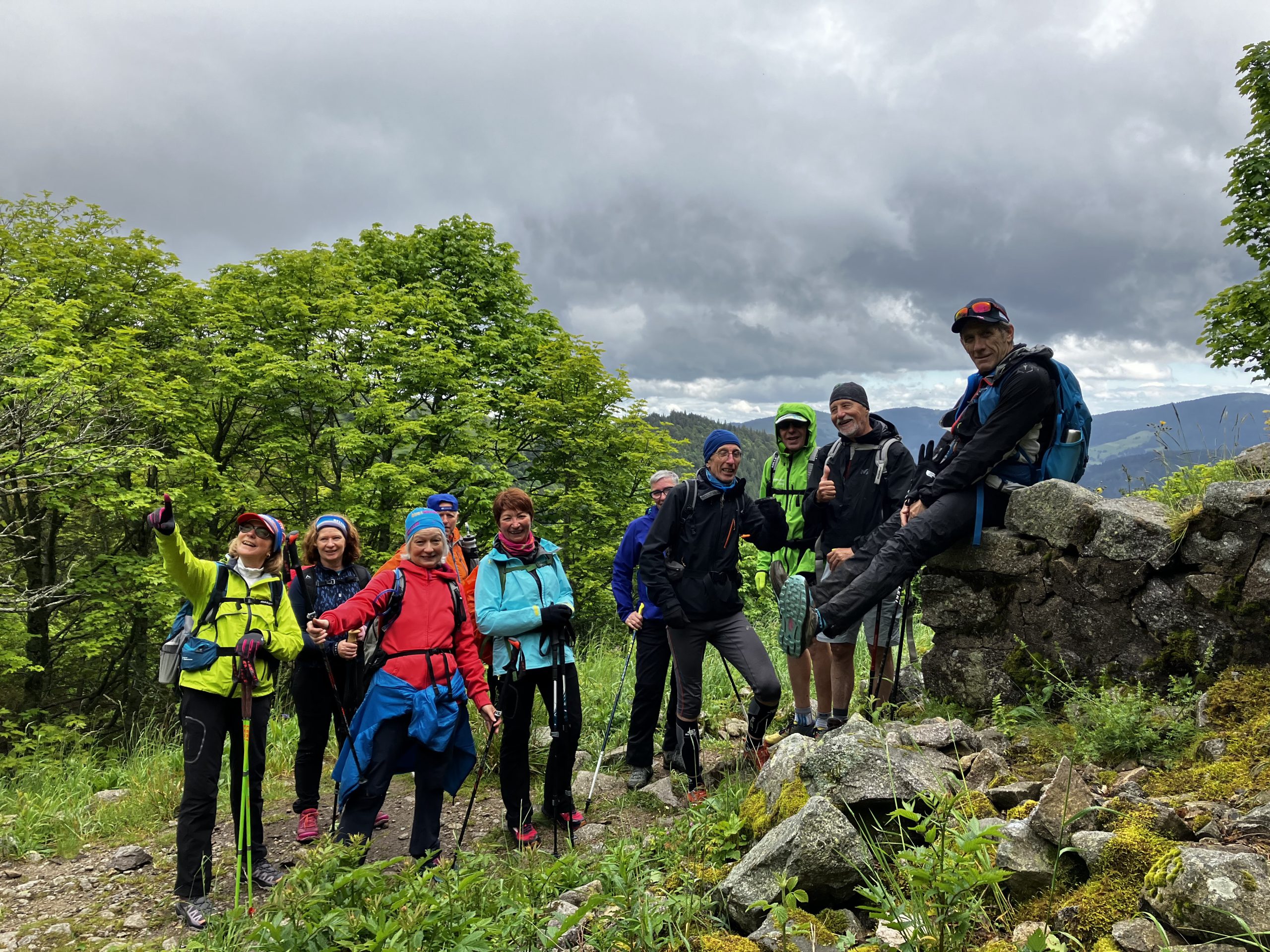
la rando du samedi:
Map of the route “Week-end Vosgien”: 9 785 m, 599 m of climbing and 595 m of descent, elevation between 938 m and 1 357 m, time 04:08:50. It is a loop that starts and ends at 48.03431, 7.04665 (latitude, longitude).
Max elevation: 1357 m
Min elevation: 938 m
Total climbing: 599 m
Total descent: 595 m
et la rando du dimanche :
Map of the route “Week-end Vosgien”: 13 361 m, 681 m of climbing and 677 m of descent, elevation between 1 064 m and 1 289 m, time 05:12:23. It is a loop that starts and ends at 48.06447, 7.02237 (latitude, longitude).
Max elevation: 1291 m
Min elevation: 1063 m
Total climbing: 681 m
Total descent: 677 m