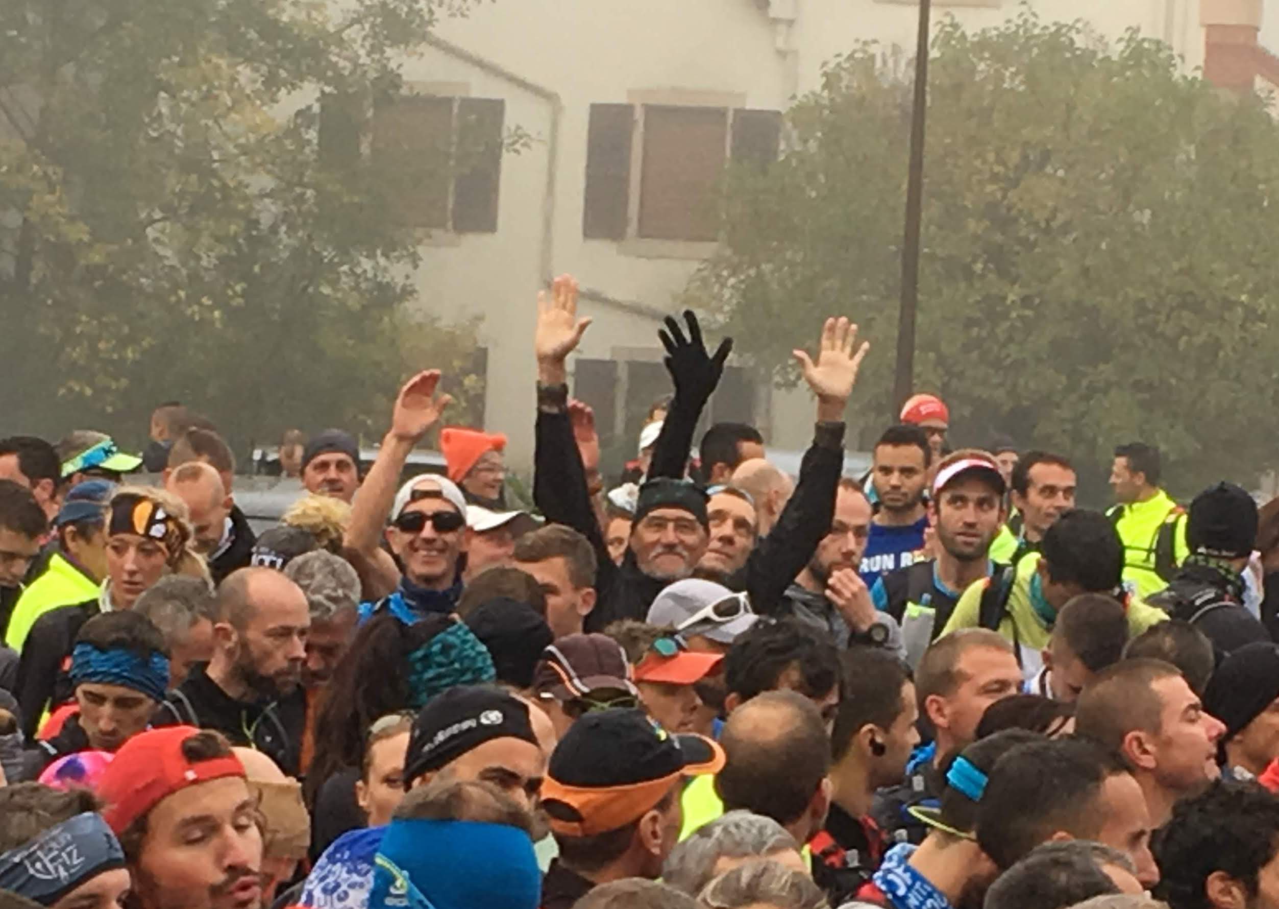
Encore une très belle participation au BelforTrail des coureurs de Run et Sens avec 12 participants !
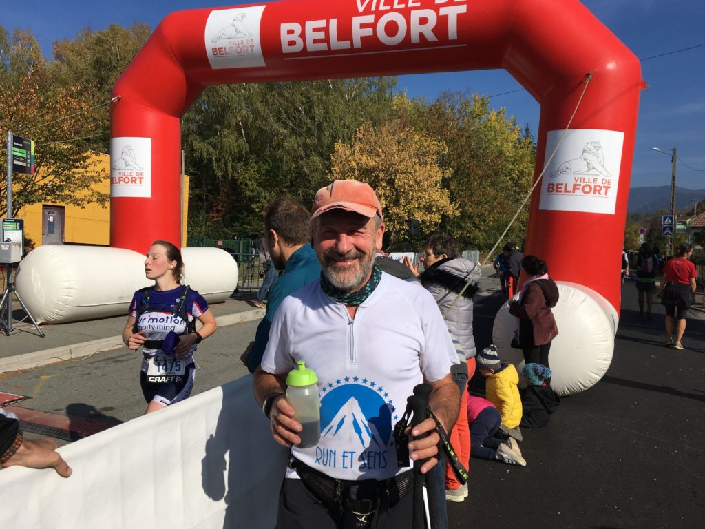
Les conditions météo étaient idéales et l’organisation toujours aux petits oignons….. A noter : une première édition pour La Savoureuse destinée uniquement aux féminines.
Bravo à toutes et à tous !
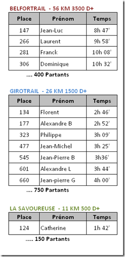
Voici les résultats:
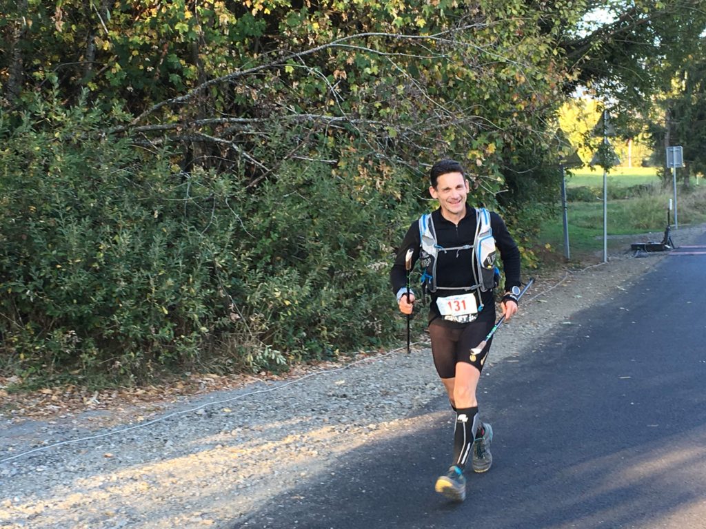
Map of the route “Belfort Trail 2018”: 55 517 m, 3 306 m of climbing and 3 284 m of descent, elevation between 467 m and 1 232 m, time 08:47:53. It starts at 47.74155, 6.82789 and ends at 47.74272, 6.83678 (latitude, longitude).
Total distance: 55520 m
Max elevation: 1232 m
Min elevation: 455 m
Total climbing: 3306 m
Total descent: 3284 m
Download file: belforttrail%2056km%202018.gpx